Cedar Park Neighborhood Guide: Which Areas Have Highest Water Risk
Not all Cedar Park neighborhoods face the same water damage risk — and understanding your specific area’s exposure can help you prioritize prevention measures, choose appropriate insurance coverage, and know what warning signs to watch for. From Brushy Creek Regional Trail’s immediate floodplain to the elevated ridge sections of Twin Creeks, Cedar Park’s diverse topography and development history create meaningfully different risk profiles across the city.
In this post, we cover Cedar Park’s primary residential neighborhoods, what makes each one distinct from a water damage risk perspective, and what homeowners in each area should watch for.
Cedar Park Water Damage Risk Assessment — Free
We know every neighborhood in Williamson County. Call (877) 698-1311 for a property-specific assessment.
Why Neighborhood Location Matters for Water Damage Risk
Cedar Park’s water damage risk varies by neighborhood for three reasons: topographic position (lower areas accumulate runoff faster), distance from Brushy Creek and its tributaries (proximity to the creek system creates floodplain exposure), and development era (older developments may have less robust drainage infrastructure than newer planned communities).
Williamson County’s rapid growth has also created micro-drainage challenges in some areas — as new development uphill from established neighborhoods increases impervious surface area, runoff volume into those neighborhoods increases even when local conditions don’t change. This is a documented pattern in several Cedar Park neighborhoods where flash flood frequency has increased proportionally to upstream development.
Buttercup Creek
Buttercup Creek is one of Cedar Park’s largest master-planned communities, and its size means it contains a range of flood exposures depending on specific location within the development. Lower-lying sections of Buttercup Creek near drainage channels and detention ponds carry the highest flood risk, while sections on higher ground above the 183 Toll corridor are less exposed to sheet flow events.
The primary water damage risk in Buttercup Creek is from slab-foundation moisture migration during extended rainfall events — the large, deep clay deposits beneath much of the neighborhood produce significant moisture uplift during wet seasons. Homeowners in Buttercup Creek have reported slab-related moisture issues at higher rates than Cedar Park averages, and sub-slab moisture assessment should be a routine consideration for any water event in this neighborhood.
Lakeline Oaks
Lakeline Oaks benefits from easy access to the Lakeline Mall commercial corridor and is located near the 183 Toll Road, but its relatively flat terrain and proximity to drainage infrastructure creates exposure to storm drain surcharge events. During major Flash Flood Alley storms, the storm drain system serving Lakeline Oaks can exceed capacity, causing water to back up in streets and enter homes through garage doors and foundation-level openings.
The neighborhood’s 1990s–2000s construction era means that many properties have aging supply line infrastructure — particularly CPVC pipe, which was widely used in that period and has a higher failure rate during freeze events than newer PEX installation. Pipe burst risk during winter freeze events is elevated in Lakeline Oaks compared to newer Cedar Park developments.
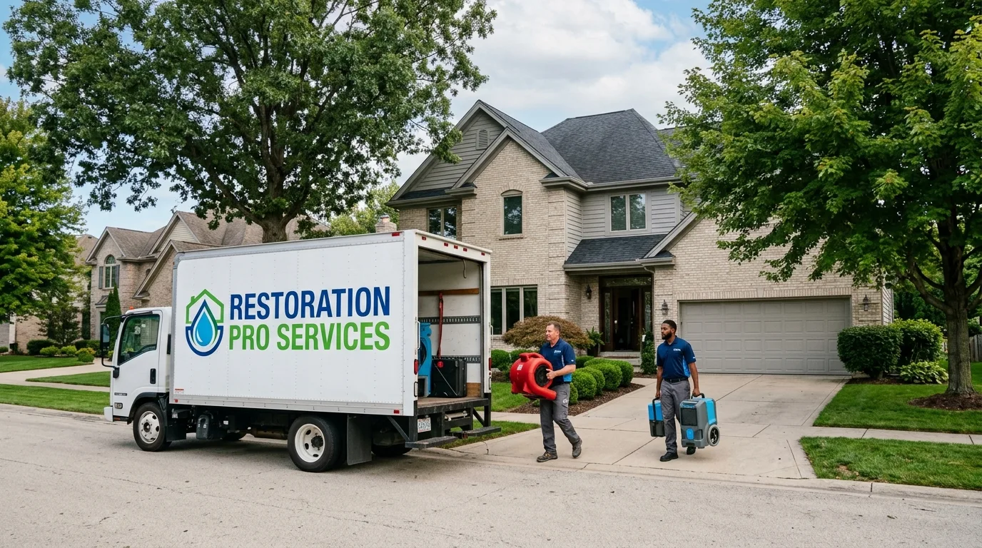
Water Damage in Your Cedar Park Neighborhood? We Respond Fast
We serve all Cedar Park neighborhoods 24/7. Call (877) 698-1311 for immediate dispatch.
Cypress Bend
Cypress Bend is located near Milburn Park and is known for its school district access. The neighborhood’s position near the Brushy Creek tributary system creates moderate flood exposure from creek overflow events during major spring storms. Properties in the lower sections of Cypress Bend that back to the greenway corridor have the highest creek overflow exposure.
Cypress Bend’s construction era includes a mix of 1990s and early 2000s development, with the slab foundation characteristics and supply line infrastructure of that period. The neighborhood’s established tree canopy — mature cedars and live oaks — creates elevated sewer lateral intrusion risk as root systems reach the age where they begin penetrating pipe joints.
Twin Creeks
Twin Creeks is an established neighborhood with large lots and a mix of single-story and two-story homes. The neighborhood’s name reflects its position in a drainage basin, and sections closest to the creek system carry measurable flood risk during major storm events. However, Twin Creeks’ relatively larger lots also provide more natural drainage area than denser Cedar Park neighborhoods, which moderates surface flooding risk in many parts of the neighborhood.
The primary water damage risk in Twin Creeks is from the combination of older supply line infrastructure — many properties are now 20+ years old — and the deep clay soil deposits that characterize much of this portion of Williamson County. Slab leak rates in older Twin Creeks properties are consistent with Cedar Park averages, and the clay soil conditions create the same sub-slab moisture migration challenges as in Buttercup Creek.
Carriage Hills
Carriage Hills is one of Cedar Park’s more affordable established neighborhoods, and its central location near key Cedar Park infrastructure makes it a popular choice for families. The neighborhood’s more modest lot sizes and denser development pattern can concentrate storm water runoff in localized areas during intense rainfall events.
The affordable price point of Carriage Hills properties also means deferred maintenance is more common — and deferred maintenance on aging HVAC drain lines, supply connections, and roof flashing creates water damage risk that is directly preventable. Homeowners in Carriage Hills should prioritize annual inspection of supply connections, HVAC drain lines, and roof penetrations as cost-effective flood prevention measures.
Ranch at Brushy Creek
Ranch at Brushy Creek is one of Cedar Park’s newer developments, with a mix of construction from the 2000s through 2010s. The neighborhood is named for its proximity to Brushy Creek Regional Trail, which is both a community amenity and a flood risk indicator — sections of the neighborhood that back to the trail corridor or the creek system carry genuine floodplain exposure from creek overflow events.
Ranch at Brushy Creek’s newer construction means PEX supply line plumbing — significantly more freeze-resistant than the CPVC common in older Cedar Park neighborhoods — and more modern drainage infrastructure. However, the neighborhood’s position near the Brushy Creek system means flash flood risk from watershed events is a recurring consideration regardless of construction quality.
Practical Neighborhood-Specific Prevention Tips
- Buttercup Creek & Twin Creeks: Schedule periodic sub-slab moisture assessments, particularly after extended wet seasons
- Lakeline Oaks: Inspect and insulate supply lines in unheated garage spaces before each winter; check storm drain access points near the property
- Cypress Bend: Have sewer lateral camera-inspected every 5–7 years given tree root intrusion risk from mature landscaping
- Carriage Hills: Annual inspection of HVAC condensate lines, roof flashing, and exterior water penetrations
- Ranch at Brushy Creek: Know your property’s proximity to the creek floodplain; consider NFIP flood insurance if within the 1% annual chance flood zone
Frequently Asked Questions
Which Cedar Park neighborhoods have the highest flood risk from Brushy Creek?
Properties within direct proximity of Brushy Creek and its tributaries — particularly sections of Ranch at Brushy Creek backing to the trail corridor and lower sections of Cypress Bend near the creek’s drainage path — carry the highest flood risk from creek overflow events. FirstStreet Foundation’s property-level flood risk data provides specific risk scores for individual Cedar Park properties. We can evaluate your property’s specific exposure during a free assessment.
Are newer Cedar Park neighborhoods less vulnerable to water damage than older ones?
Newer Cedar Park neighborhoods typically have more modern supply line infrastructure (PEX rather than CPVC), updated storm water management systems, and more rigorous building codes — all of which reduce some water damage risks. However, proximity to Brushy Creek and the Flash Flood Alley weather pattern affects all Cedar Park neighborhoods regardless of age. And rapid growth in newer sections of Cedar Park creates new storm water management challenges as impervious surface area increases.
Is Williamson County water damage risk different from Austin proper?
Cedar Park and Williamson County share the Flash Flood Alley designation with Austin proper, but Cedar Park’s specific position in the Brushy Creek watershed creates a distinct flood pattern. Cedar Park’s more uniform slab-on-grade construction creates a different sub-slab moisture profile than Austin’s mix of slab, pier-and-beam, and crawl space construction. The Taylor Black Clay soil that dominates Williamson County — while present in parts of Austin — is particularly prevalent throughout the Cedar Park area.
Related:
- Cedar Park clay soil makes water damage worse
- Flash Flood Alley: Cedar Park flood risk and what to do
- Water damage restoration Cedar Park: 2026 guide
Cedar Park Neighborhood Water Damage — We Serve All of Them
From Buttercup Creek to Ranch at Brushy Creek — 24/7 restoration for every Cedar Park neighborhood. Call (877) 698-1311.